
Satellite-Derived Bathymetry Technology Supports Coral Reef Restoration Efforts
Dr. Chris Roelfsema at the University of Queensland, Australia, together with his team and EOMAP, is developing effective geomorphological and habitat mapping at a Great Barrier Reef-wide scale.
The team has developed an advanced method for semi-automatically classifying coral geomorphic zonations and to some extent also habitats across very large marine dataset such as the Great Barrier Reef in Australia. EOMAP’s Satellite Derived Bathymetry and sub-surface reflectance layers are key inputs into the methodology.
Satellite Derived Bathymetry not only informs depth zones for habitats, but it also underpins the wave modeling which in turn influences the geomorphology classification.
Dr. Roelfsema and his team, including Dr. Magnus Wettle, Managing Director at EOMAP Australia, recently 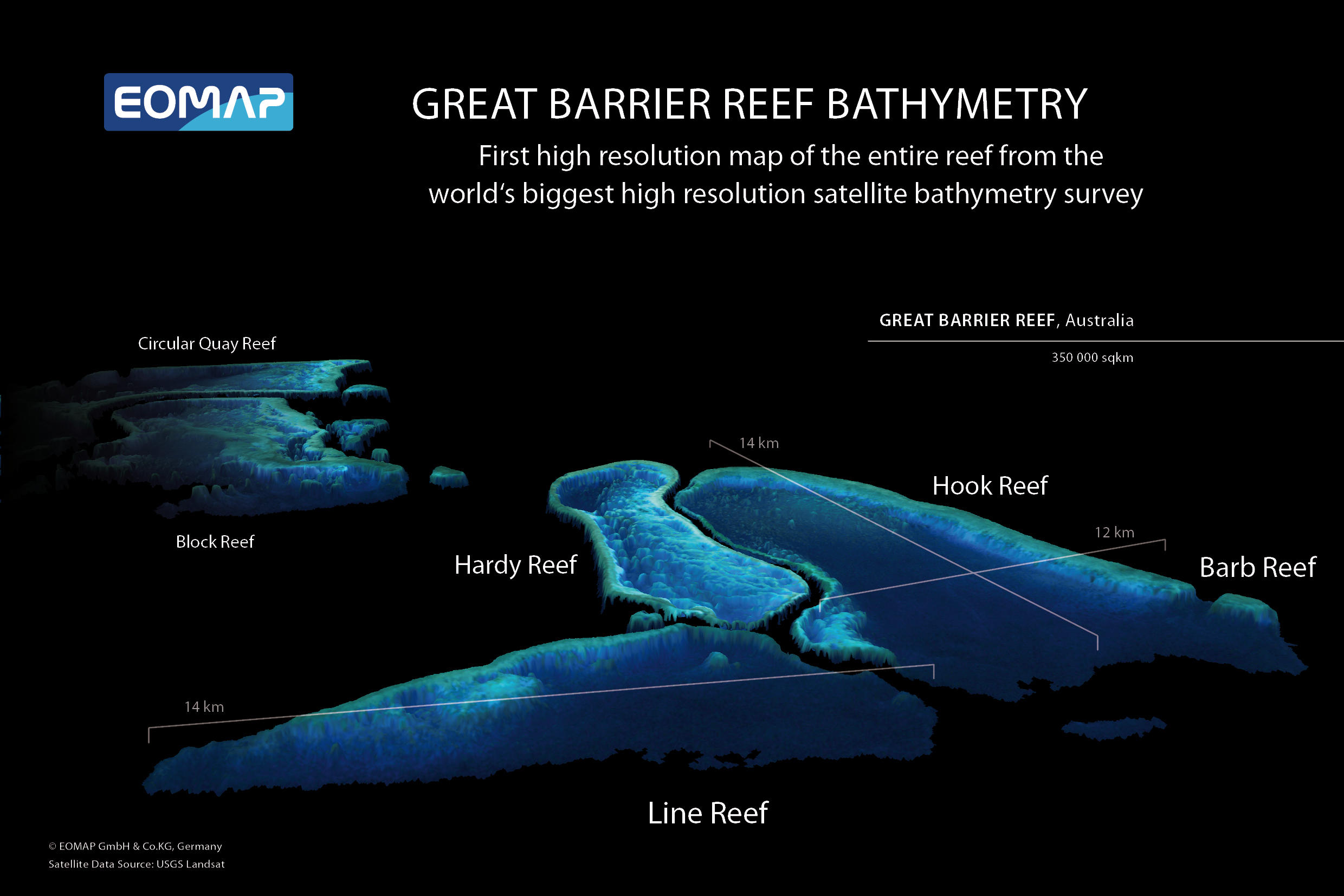 published their work in the top peer-reviewed remote sensing journal Remote Sensing of the Environment.
To learn more, click here: https://www.sciencedirect.com/science/article/pii/S0034425718300117
In 2013, EOMAP mapped the shallow water bathymetry of the entire Great Barrier Reef in Australia at 30m grid resolution. This was the first depth map of its kind for the entire Great Barrier Reef, and also the largest optical Satellite Derived Bathymetry dataset ever made.

Latest EOMAP News

Reuters bases Mekong article on EOMAP data

YellowScan integrates EOMAP’s services into LiDAR mapping solution

So machen Tourismusregionen saubere Gewässer sichtbar

Blaualgen per Satellit: Jede Badestelle im Blick
The Development of EOMAP’s Water Quality Platform

Launching the world’s first comprehensive global water quality atlas with UNESCO
Related Posts
10 / 2026
YellowScan integrates EOMAP’s services into LiDAR mapping solution
08 / 2026
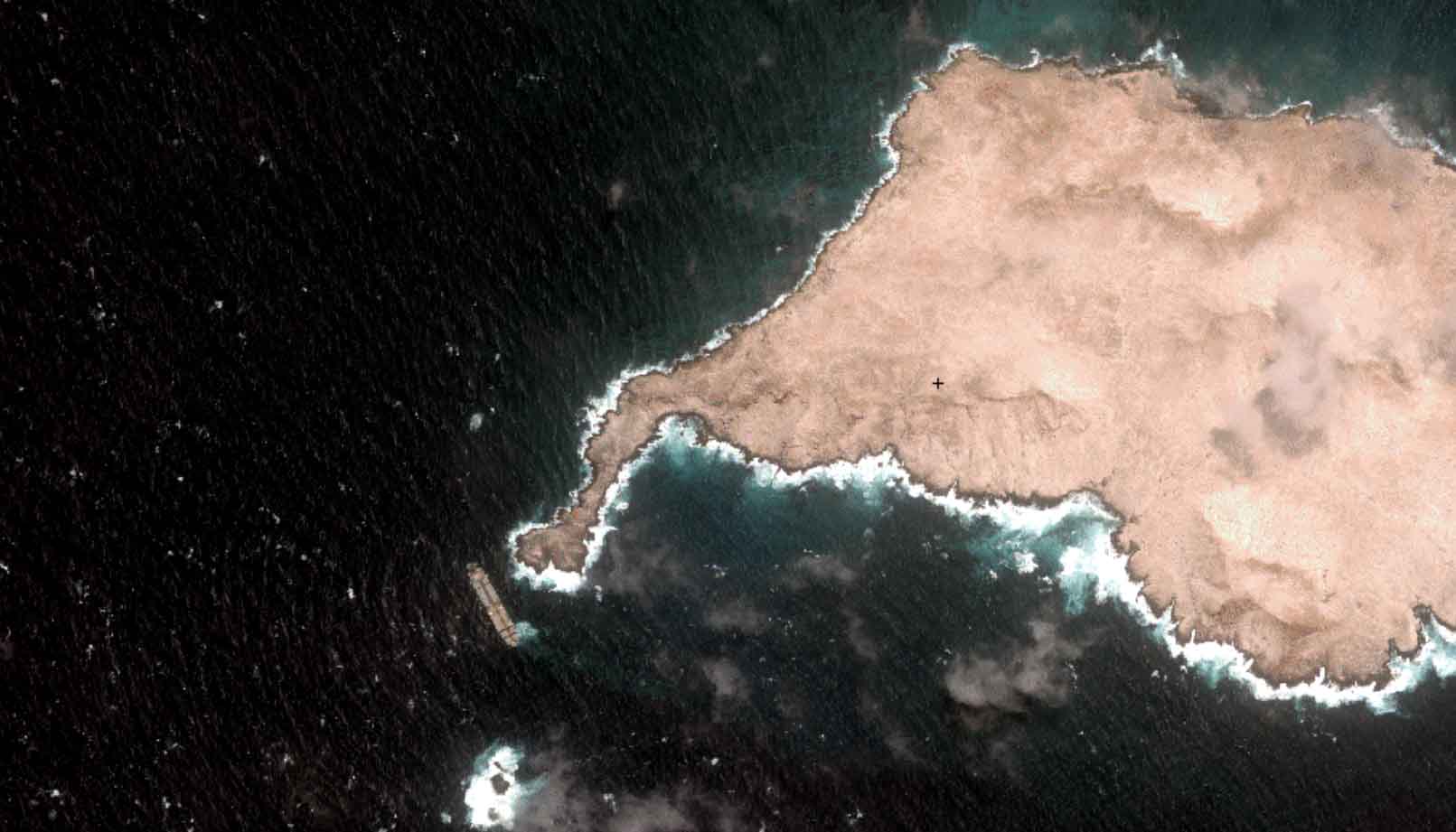
Oman Oil Spill: SDB Mapping of Critical Shallow Waters for Safe Salvage

07 / 2026
UKHO’s highest-ranked Satellite-Derived Bathymetry provider

06 / 2026
Mapping the ‘unmappable’ Great Barrier Reef
05 / 2026
Pioneering seagrass mapping at the Italian coastline in 2006

04 / 2026
Ningaloo Reef 2009: Hyperspectral Marine Habitat Mapping
04 / 2026
Advocating for Healthy Mountain Ecosystems
04 / 2026
Environmental monitoring for sporting events

04 / 2026
20 Years EOMAP: Advancing Earth Observation
03 / 2026

