
SDB Day on 27 May 2024 at CHC in Canada
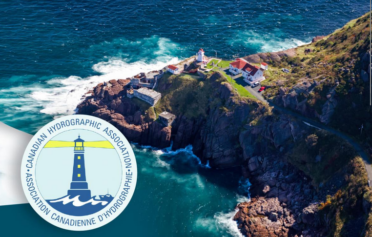
The Canadian Hydrographic Conference (CHC) took place from 27 – 30 May 2024 in St. John’s, Newfoundland. This year’s conference motto was: “Unveiling our Blue Planet”.
On the first conference day, the 27th of May, EOMAP hosted the “SDB Day”, an afternoon workshop dedicated to Satellite-Derived Bathymetry (SDB). The event is part of the SDB Day series, a capacity building and exchange forum initiated by EOMAP.
The SDB Day 2024 included applications, such as shallow water surveying or coastal monitoring, and featured use cases in the Arctic region. Here are the topics in more detail:
Technology and Innovations
📍Concepts and methods of Satellite-Derived Bathymetry (SDB)
📍Why Physics-based processing matters
📍Innovations: Cloud processing of SDB, Shoals and safety in navigation, understanding turbidity
📍What does SDB offer for Arctic regions?
Applications and Use Cases
📍Demo tour of cloud processing solutions: SDB-Online and eoapp AQUA
📍Use cases from Greenland and other Arctic regions
📍Coastal Monitoring and assessment
📍Q & A
SDB for a community-led hydrography project in Canada
On CHC Day 3 am during the “Satellite-Derived Bathymetry Session 2” Edward showcased a fascinating bathymetry project in Quebec: In 2023, EOMAP cooperated in community-led bathymetric surveys and helped generate Satellite-Derived Bathymetry (SDB) for Canadian coastal waters, using eoapp SDB-Online.
Learn more about the project here.
For further questions, please get in touch with:
Edward Albada – Principal EOMAP USA – North America and Caribbean, or with
Dr. Kim Knauer – Project & Innovation Manager at EOMAP.
- Access the presentations of SDB Day 2022 here.
- Access the recordings of (the virtual) SDB Day 2021 here.
- Find details of SDB Day 2020 here.
- More on SDB Day 2019 in Australia.
- More on SDB Day 2018 in Germany.
Latest EOMAP News

Reuters bases Mekong article on EOMAP data

YellowScan integrates EOMAP’s services into LiDAR mapping solution

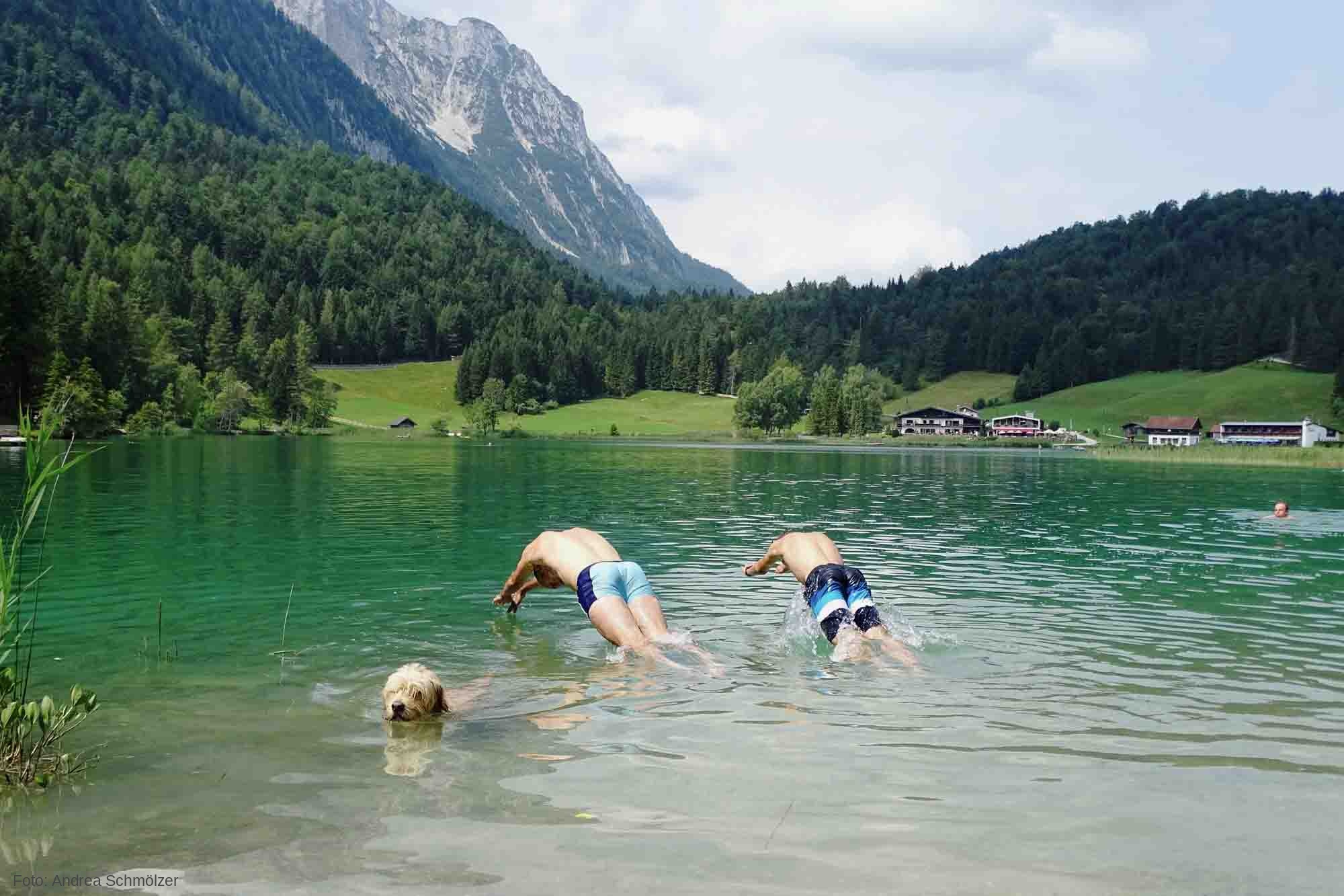
So machen Tourismusregionen saubere Gewässer sichtbar

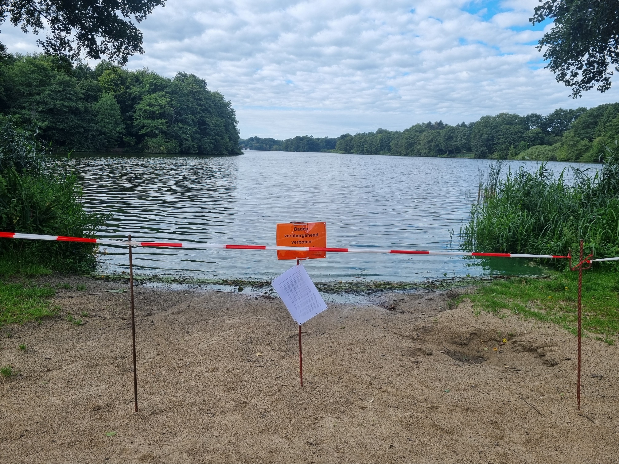
Blaualgen per Satellit: Jede Badestelle im Blick
The Development of EOMAP’s Water Quality Platform

Launching the world’s first comprehensive global water quality atlas with UNESCO
Related Posts
10 / 2026
YellowScan integrates EOMAP’s services into LiDAR mapping solution
10 / 2026
So machen Tourismusregionen saubere Gewässer sichtbar
09 / 2026
Blaualgen per Satellit: Jede Badestelle im Blick
09 / 2026
The Development of EOMAP’s Water Quality Platform

08 / 2026
Launching the world’s first comprehensive global water quality atlas with UNESCO
08 / 2026
Oman Oil Spill: SDB Mapping of Critical Shallow Waters for Safe Salvage

08 / 2026
eoapp DIVE unterstützt die Tauchplanung

07 / 2026
UKHO’s highest-ranked Satellite-Derived Bathymetry provider

06 / 2026
Mapping the ‘unmappable’ Great Barrier Reef
06 / 2026

