
Milestone #6 worth celebrating: The year we became UKHO’s highest-ranked Satellite-Derived Bathymetry (SDB) provider.
First choice – twice
The UKHO stands at the forefront of global hydrography, enabling safer seas, stronger trade and better ocean stewardship. In, UKHO selected EOMAP as their top-ranked SDB framework provider for the first time – a milestone that put our satellite analytics on British ADMIRALTY Navigational Chart 2066 of Southern Antigua.
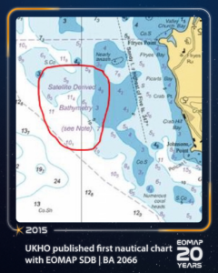
UKHO published first nautical chart with EOMAP SDB | BA 2066
Seven years later, in 2022, UKHO once again ranked us first, a position that remains in effect today.
Some further years later now, other hydrographic offices use our SDB solutions for nautical charting purposes. Meanwhile, EOMAP SDB has been integrated into about 50 nautical charts globally.
SDB for modern hydrography
Traditional vessel-based surveys struggle with shallow, remote, or ecologically sensitive areas. SDB bridges that gap – cost-effectively, non-intrusively, and at scale.
As Knut Hartmann, EO Service Line Manager at EOMAP, a company, puts it: “For us, this contract and the sound competitive evaluation procedure is a proof of trust in the quality of our satellite analytics. Moreover, it shows that our SDB technology is a must-have in the toolbox of modern hydrographers and surveyors, when it comes to mapping shallow waters.”
Beyond hydrography, these shallow water grids serve coastal zone managers, planners, and engineers around the world.
Learn More
Read more about our collaboration in 2022.
Follow along and share your memories in the comments as we look back on two decades of progress, collaboration, and impact!

Latest EOMAP News

Reuters bases Mekong article on EOMAP data

Oman Oil Spill: SDB Mapping of Critical Shallow Waters for Safe Salvage

eoapp DIVE unterstützt die Tauchplanung

UKHO’s highest-ranked Satellite-Derived Bathymetry provider

Mapping the ‘unmappable’ Great Barrier Reef

Dredge plume monitoring using satellite-based turbidity mapping
Related Posts
08 / 2026
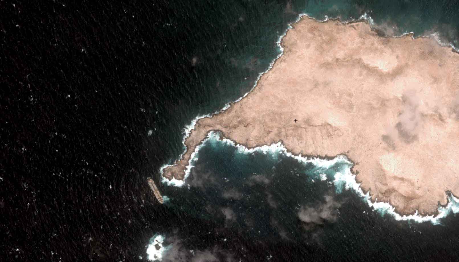
Oman Oil Spill: SDB Mapping of Critical Shallow Waters for Safe Salvage

06 / 2026
Mapping the ‘unmappable’ Great Barrier Reef

04 / 2026
Ningaloo Reef 2009: Hyperspectral Marine Habitat Mapping

04 / 2026
20 Years EOMAP: Advancing Earth Observation

02 / 2026
WATCOR‑X Bathymetry Software for Navies and Hydrographic Offices
01 / 2026
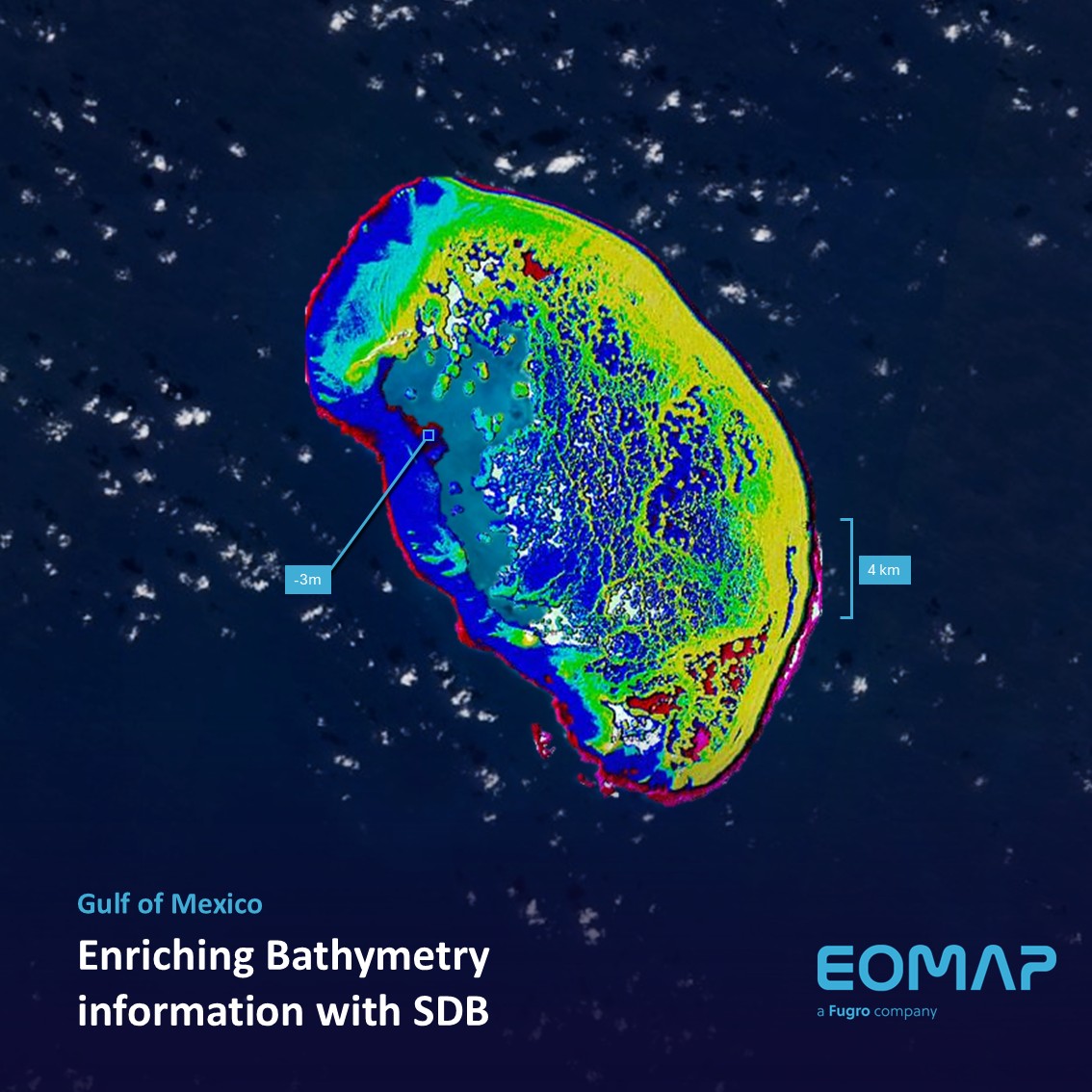
Bathymetry in the Gulf of Mexico
10 / 2025
SDB Update #9 – Validation and Accuracy
10 / 2025
SDB Update #8 – Multisource Bathymetry
08 / 2025
SDB Update #7 – Topobathy of the Red Sea
07 / 2025

