
Multisource Bathymetry — From Space to Soundings. SDB Update No.8 introduces this fast, interdisciplinary, and more complete way of shallow-water mapping.
For seamless depth models
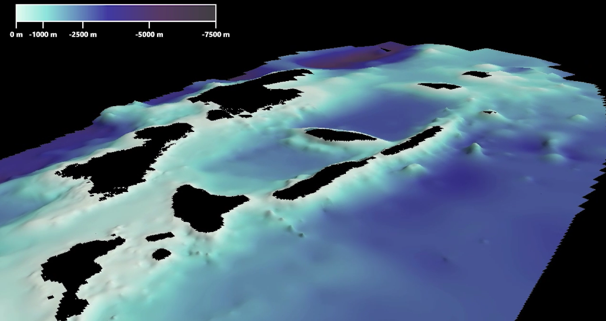
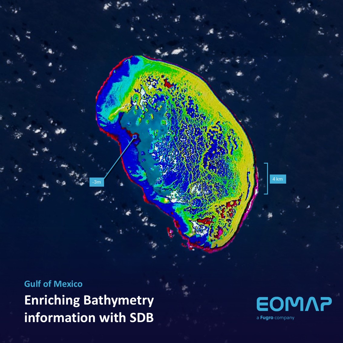
Multisource Bathymetry (MSB) is a seamless bathymetric model from shoreline to deep ocean.
For MSB, satellite-derived bathymetry (SDB) covering the shallow water zone is fused with available bathymetric information from surveys or nautical charts for deeper waters.
Especially for modelling and planning purposes, bathymetric data is mandatory. The shallower the waters, the more important it gets, as ocean wave build-up and project planning become more complex.
While combining the different sources, we manage the trade-off between recent and high-resolution data in the shallow waters and in the deeper waters – typically with much coarser resolution – to provide seamless and gridded bathymetric information.
In a nutshell
For modellers and coastal engineers, MSB is an efficient solution for planning surveys and making their models more accurate.
Contact
If you are interested in workflows and use cases, please connect with our shallow water team: https://eomap.com/services/bathymetry/.
Or simply request a quote via our Enquiry portal.
SDB update is a Linkedin post series on Satellite-Derived Bathymetry (SDB) by EOMAP – a Fugro company. Enjoy news, facts, and figures on a bi-weekly basis!
Latest EOMAP News

Reuters bases Mekong article on EOMAP data

YellowScan integrates EOMAP’s services into LiDAR mapping solution

So machen Tourismusregionen saubere Gewässer sichtbar

Blaualgen per Satellit: Jede Badestelle im Blick
The Development of EOMAP’s Water Quality Platform

Launching the world’s first comprehensive global water quality atlas with UNESCO
Related Posts
10 / 2026
YellowScan integrates EOMAP’s services into LiDAR mapping solution
08 / 2026
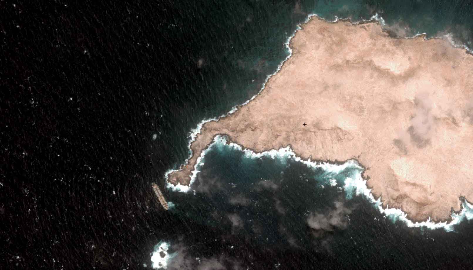
Oman Oil Spill: SDB Mapping of Critical Shallow Waters for Safe Salvage

07 / 2026
UKHO’s highest-ranked Satellite-Derived Bathymetry provider

06 / 2026
Mapping the ‘unmappable’ Great Barrier Reef
05 / 2026
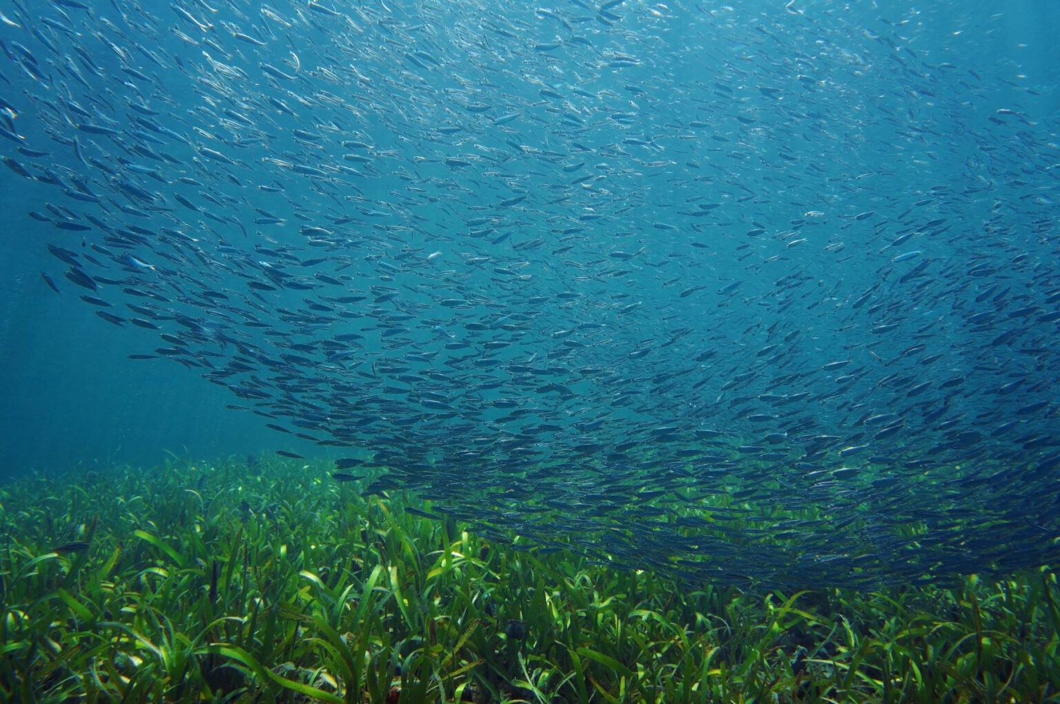
Pioneering seagrass mapping at the Italian coastline in 2006

04 / 2026
Ningaloo Reef 2009: Hyperspectral Marine Habitat Mapping

04 / 2026
20 Years EOMAP: Advancing Earth Observation
03 / 2026
New BD & Sales Manager for the Americas

02 / 2026
WATCOR‑X Bathymetry Software for Navies and Hydrographic Offices
01 / 2026

