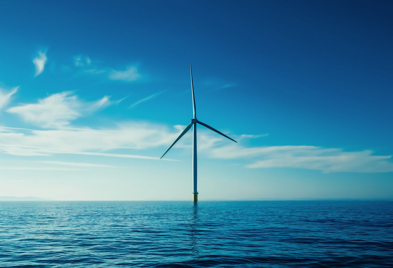
According to the European Commission, ocean energy technologies, including tidal and wave energy, could meet 10% of the EU’s power demand by 2050. However, meeting the need of Metocean, geophysical and other environmental data remains challenging.
The challenge
High development costs and lengthy approval processes can slow down deployments. Supporting offshore renewable energy initiatives requires access to high-resolution environmental, MetOcean and ancillary data. However, obtaining this data is time intensive and can significantly increase overall project costs.
The solution
This is where BLUE-X comes in: The web-based decision support tool integrates selected Earth Observation based environmental data and supports the entire lifecycle of offshore renewable energy installations – from site selection through operation and maintenance to decommissioning.
Proof of concept
Renewable energy providers across Europe have now been defined as use case partners . They will apply the tool for their needs and provide invaluable feedback to optimize usability and output.
Four diverse use cases across Europe will demonstrate how BLUE-X meets real industry needs across several forms of offshore renewable energy:
- Oceans of Energy – floating solar
- SeaQurrent – tidal kite
- Inyanga Marine Energy Group – tidal energy
- Politecnico di Torino – wave energy
Together with our consortium partners, we are driving the acceleration of blue energy solutions and helping unlock the vast potential of offshore renewables. Stay connected for upcoming insights from the use cases and discover how BLUE-X can shape the future of offshore renewable energy.
Subscribe to our newsletter and see the BLUE-X page.
The consortium partners include the Dutch Marine Energy Centre (DMEC, The Netherlands), EOMAP (Germany), Fórum Oceano (Portugal), INESC TEC (Portugal), Inyanga Marine Energy Group (France/UK), MOREnergy Lab (italy), Politecnico di Torino (Italy) and the EUSPA – EU Agency for the Space Programme.
Latest EOMAP News


Related Posts

01 / 2026
Pro-active hydropower management in winter

11 / 2025
Italian Webinar: Water Quality Monitoring from Space

09 / 2025
World Rivers Day 2025 – Using Satellite Data to Monitor Water Quality and River Health

09 / 2024
Hydropower Solutions by EOMAP – at HYDRO 2024
02 / 2024
Projektstart BLUE-X: Stärkung erneuerbarer Offshore-Energieprojekte
02 / 2024
BLUE-X kicked off: Earth Observation Data for Offshore Renewables

08 / 2023
HYPOS Commercial Leaflet
12 / 2022
Reuters bases Mekong article on EOMAP data
08 / 2022
