How accurate is your SDB data? – This is a question we are often asked. SDB Update No.9 provides some information on the complex topic of uncertainties.
50% of the stakeholders identified mapping inaccessible locations as the main reason to apply Satellite-Derived Bathymetry. (Innovation project ‘4S’)
For our clients and partners, the reliability of our SDB data is a fundamental prerequisite for integrating it into their shallow water surveys, models, or coastal planning and engineering.
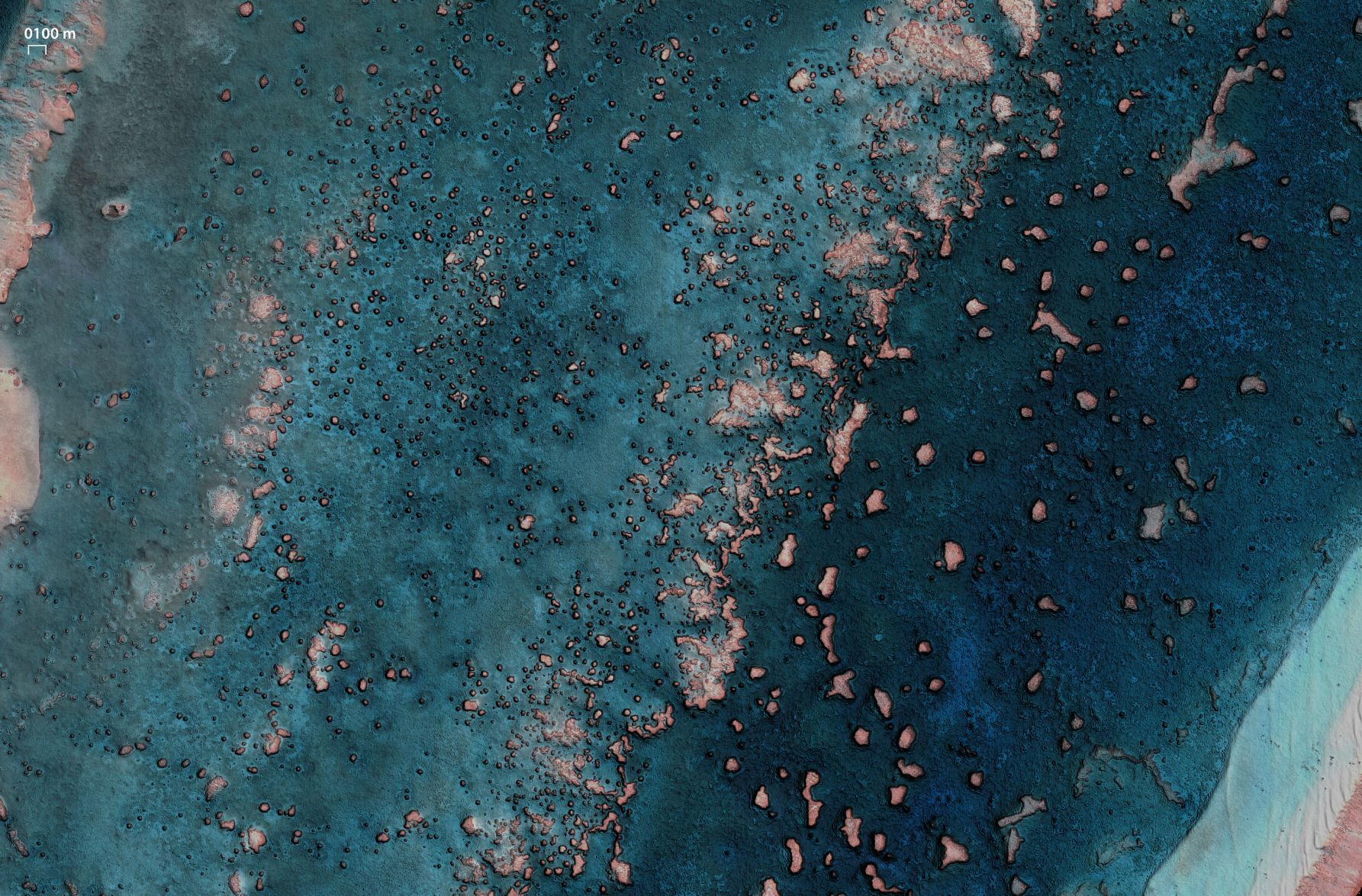
In general, the ability to map the seabed depends on the environmental conditions at the time of satellite image recording, and so does the overall quality of these measurements. Therefore, we provide some facts and (simplified) details about horizontal and vertical accuracy of our SDB measurements and how we manage uncertainty.
What about horizontal accuracy?
The horizontal or geo-positioning of SDB depends on the spatial resolution of the satellite sensors and is up to 2m. We make sure to remove effects from water refraction or terrain bias to minimize positional uncertainties.
Vertical uncertainties
Depth or vertical uncertainties are of highest interest to bathymetric users. Basically, there are standard statistical methods to describe the uncertainties: The LE90 level indicating that 90% of all data fall within this category, and the root mean square error (RMSE). As the LE90 is more relevant for our users, we return information on this as standard feedback. Over the years, we have found that 0.5m plus a depth dependent factor of 10% gives a very good global approximation of the vertical LE90 uncertainties.
Is it that simple?
Of course not. In addition, seabed coverage, water turbidity, tidal uncertainties, and other effects impact uncertainty. For this reason, we provide pixel-specific uncertainties for each depth measurement.
What about client data?
Can we use client data to improve and verify SDB? Yes, we can and are happy to do so! For this purpose, a detailed validation report and statistics will be included. Furthermore, there is an interesting validation option, even if you don’t have any data: We leverage active green laser depth measurements to verify our results, and it comes with detailed statistics on how accurate it performs.
Validation studies
Although our physics-based image processing is based on 30 years of development and can be applied independently of in situ depth information, we continue conducting validation studies to further improve our algorithms and SDB apps. Here are two recent examples:
- A very comprehensive study of this sort was part of the “4S” project, in the framework of which we developed the web app SDB-Online. In this study, SDB results are validated at ten different sites, ranging from the higher latitudes of Canada to turbid UK waters to the Caribbean. SDB was validated against Lidar and MBES data. The project team published the details of this analysis in the peer reviewed ‘International Hydrographic Review’.
- Atmospheric correction (AC) for water bodies is key to ensure standardized and high-quality outputs. In 2024, 21 European scientists evaluated AC as the core of our “MIP” methodology in the framework of the EnMAP mission. In this intercomparison between three AC methods covering 17 water sites, our “MIP” showed superior results. Read more on the study published in “Optics Express”.
Contact
Scroll down to our FAQs for more on how we deal with uncertainties here.
Sign up to eoapp™ SDB-Online to test bathymetry from the comfort of your desk.
Or simply request a quote via our Enquiry portal.
SDB update is a Linkedin post series on Satellite-Derived Bathymetry (SDB) by EOMAP – a Fugro company. Enjoy news, facts, and figures on a bi-weekly basis!
Latest EOMAP News


Related Posts

02 / 2026
WATCOR‑X Bathymetry Software for Navies and Hydrographic Offices

01 / 2026
Bathymetry in the Gulf of Mexico

12 / 2025
From Climate to Nature and Biodiversity: Insights on COP30

11 / 2025
Projektstart SEAGUARD

10 / 2025
New Storymap: Bathing Water Monitoring from Space

10 / 2025
SDB Update #8 – Multisource Bathymetry

08 / 2025
SDB Update #7 – Topobathy of the Red Sea

07 / 2025
SDB Update #6 – Satellite-based Topobathy Models

07 / 2025
SDB Update #5 – Storymap on Satellite-Derived Bathymetry

06 / 2025
