As of September 2024, the Danish Depth Model 2.0 is online. It builds on crowd-sourced data, airborne lidar and satellite-derived bathymetry (SDB by EOMAP). The updated 50-metre model of the Danish Geodata Agency is a leap forward in both data quantity and quality.
Satellite-derived bathymetry (SDB) contributes to a seamless grid
The Danish Depth Model (DDM) not only includes vast areas that lacked bathymetric coverage before, but also integrated new data sources. From the beginning of 2024 onwards, EOMAP supported the Danish Hydrographic Office with Satellite-Derived Bathymetry (SDB) for mapping near-coastal shallow water areas. This SDB grid has been integrated with existing and additional data sources, such as airborne lidar and crowd-sourced bathymetry. All datasets have been harmonised, resulting in uniform depth measurements.
The result is a seamless shallow water grid of the Danish coastline and its hundreds of islands. The new DDM addresses
- all stakeholders who value a comprehensive overview of marine areas and depths.
- It is a key tool for accurate storm surge, wave and climate models for maritime planning.
- Moreover, it supports the planning of projects such as wind farms, bridges and tunnels. However, the new 50-metre model is not designed for navigation.
- Last, but not least, these data are embedded into the European Marine Observation and Data Network (EMODnet) Bathymetry.
We congratulate the entire team and say “ Mange tak” for this successful collaboration!
More details
Freely access the DDM and find insights into the source data.
Read more on the new model in the press release of the Danish Geodata Agency.
Find Quotes and more details on the project in EOMAP’s press release on the kick-off.
Contact
If you wish to fill coastal data gaps, remotely monitor morphodynamics, habitats or coastal waters, please reach out to our shallow water team.
Related Posts
01 / 2026
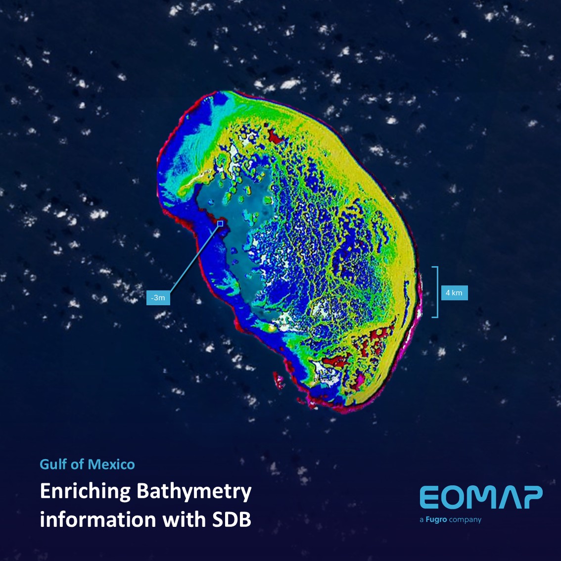
Bathymetry in the Gulf of Mexico

12 / 2025
A short recap of 2025

11 / 2025
Projektstart SEAGUARD
10 / 2025
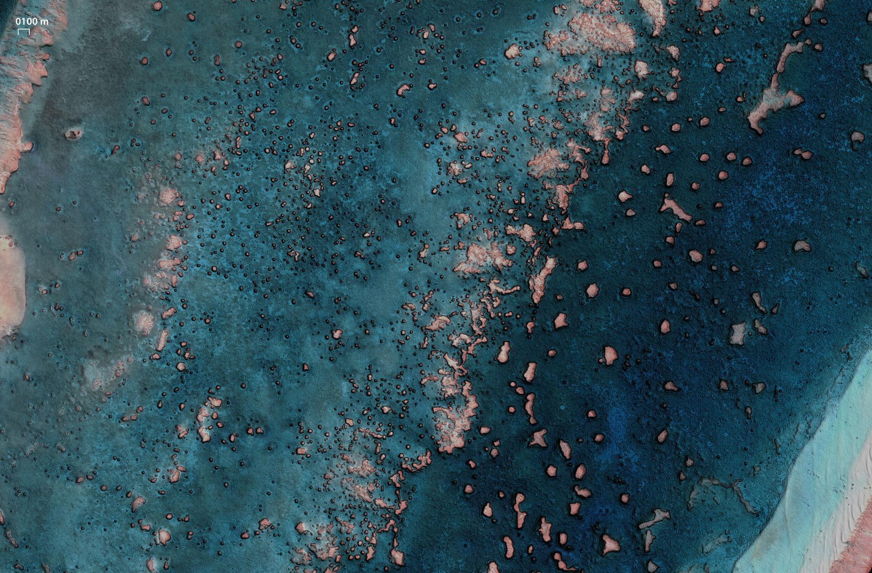
SDB Update #9 – Validation and Accuracy
10 / 2025
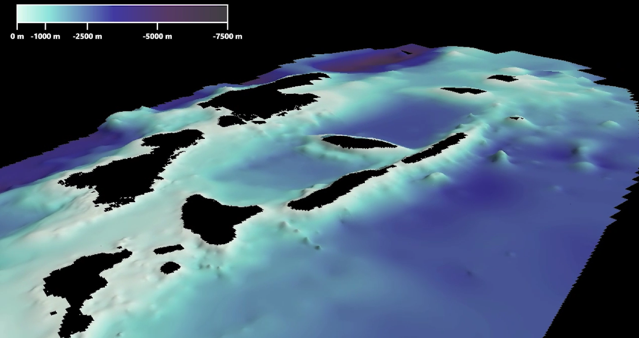
SDB Update #8 – Multisource Bathymetry
08 / 2025
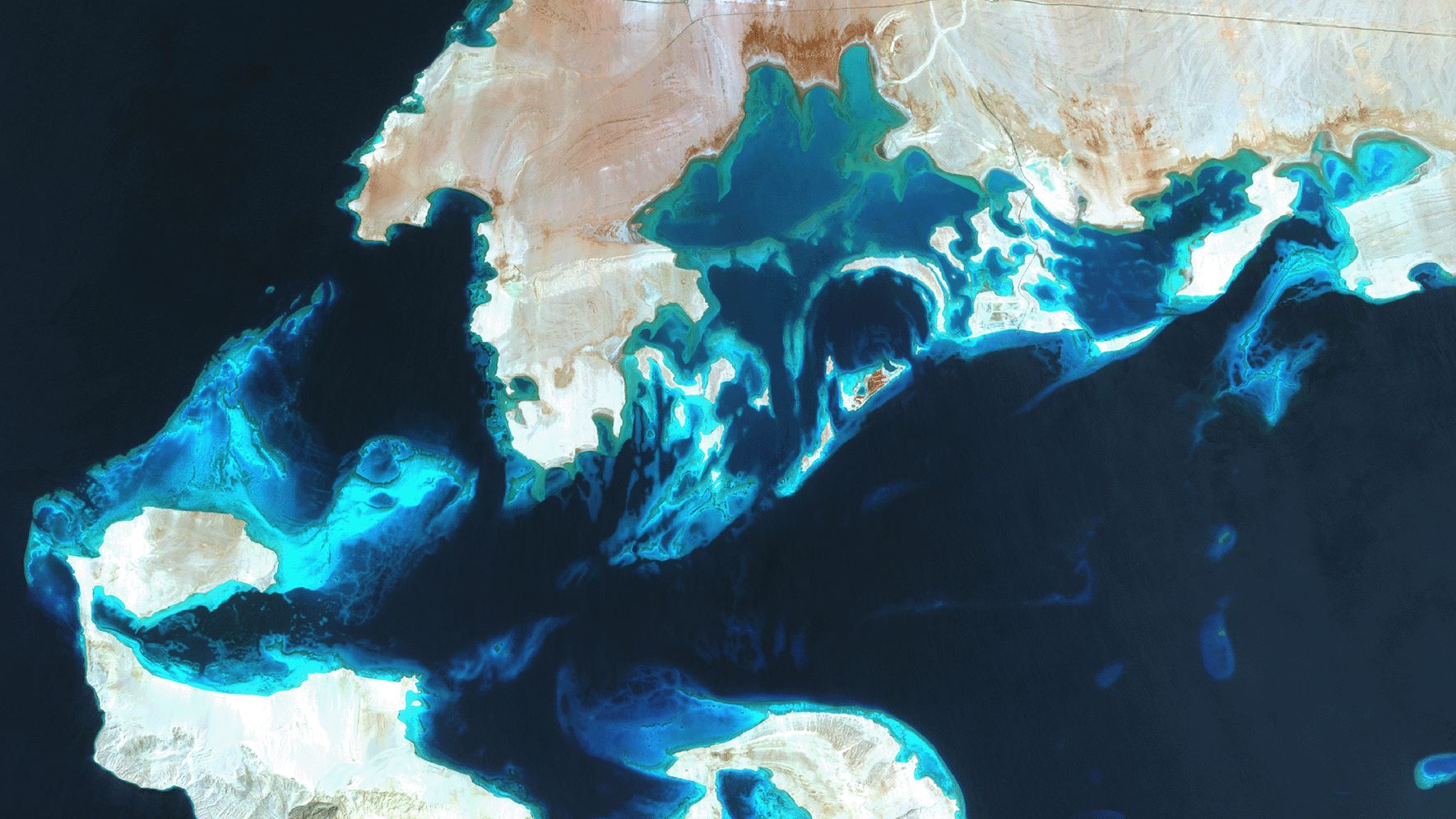
SDB Update #7 – Topobathy of the Red Sea
07 / 2025
SDB Update #6 – Satellite-based Topobathy Models
07 / 2025
SDB Update #5 – Storymap on Satellite-Derived Bathymetry
06 / 2025
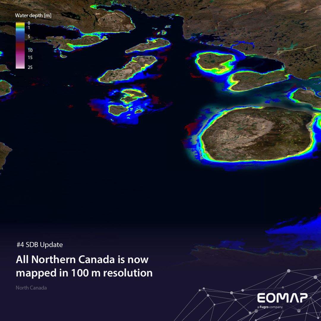
SDB Update #4 – Northern Canada’s shallow waters mapped in 100 m
06 / 2025


