Let’s take you on an animated journey to Satellite-Derived Bathymetry (SDB) for this SDB Update No. 5*! – Discover the new storymap and learn about how SDB evolved, what “physics-based” SDB means, and see use cases that highlight the strengths of this technology.
In its final declaration, the recent UN Ocean Conference in Nice acknowledges the critical need for accounting and mapping of coastal and marine ecosystems, and of the ocean floor.
Smart mapping of marine ecosystems
When it comes to efficient technologies to achieve this goal, SDB is high up on the list. With many of our SDB projects, we contribute to global initiatives, such as Seabed 2030, EMODnet Bathymetry, or GEBCO – General Bathymetric Chart of the Oceans.
Although SDB enjoys wide acknowledgement among ocean mapping experts, we still encounter knowledge gaps. Through the EOMAP storymap “Unveiling Depths – A Journey to SDB” we wish to support a deeper understanding of this innovative technology in an enjoyable way.
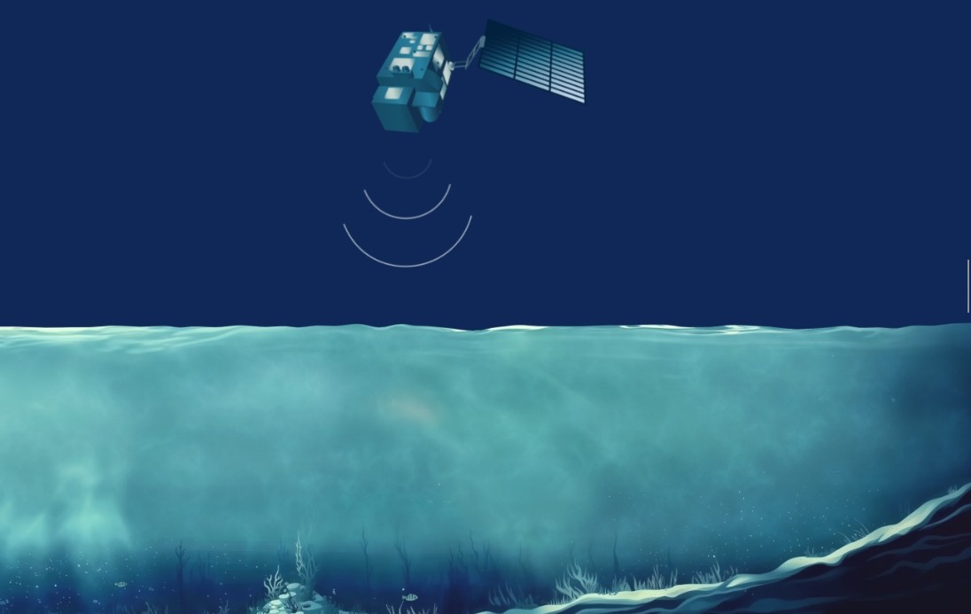
Scroll through the storymap to learn about
- The development of seafloor mapping
- Our highly sophisticated model providing shallow water depth without the need for any other survey or ground-truth data
- The 4 key benefits of physics-based SDB illustrated in use cases from Canada, Italy, the Maldives and Germany
Dive deeper into Satellite-Derived Bathymetry
If you wish to explore the innovative, yet established mapping technology even in more depth, here are two recommendations:
➡️ The peer-reviewed paper “Satellite-Derived Bathymetry Online” in the International Hydrographic Review. It reports on SDB validation results in ten focus areas with different tidal regimes, water clarity conditions, and latitudes. The paper also introduces a global map of water-clarity potential for the application of SDB.
➡️ The SDB Best Practice Guide by International Hydrographic Organization (IHO): The document of 2024 provides an overview of methods and factors to consider when applying SDB to map shallow coastal environments. In addition, it provides a framework for collecting, processing, analysing, interpreting, and sharing data.
Contact
Please mail to shallowwater@eomap.de for SDB services worldwide.
Or simply get quotes for your area via our enquiry platform.
*SDB Update is a Linkedin post series on Satellite-Derived Bathymetry (SDB) by EOMAP – a Fugro company. Enjoy news, facts, and figures on a bi-weekly basis!
Latest EOMAP News

Reuters bases Mekong article on EOMAP data

Dredge plume monitoring using satellite-based turbidity mapping

Pioneering seagrass mapping at the Italian coastline in 2006

Mapping Ningaloo Reef 2009: A Breakthrough in Hyperspectral Marine Habitat Analysis

Advocating for Healthy Mountain Ecosystems

Environmental monitoring for sporting events
Related Posts

05 / 2026
Pioneering seagrass mapping at the Italian coastline in 2006

04 / 2026
Mapping Ningaloo Reef 2009: A Breakthrough in Hyperspectral Marine Habitat Analysis

04 / 2026
20 Years EOMAP: Advancing Earth Observation

03 / 2026
New BD & Sales Manager for the Americas

02 / 2026
WATCOR‑X Bathymetry Software for Navies and Hydrographic Offices

01 / 2026
Bathymetry in the Gulf of Mexico

12 / 2025
From Climate to Nature and Biodiversity: Insights on COP30

11 / 2025
Projektstart SEAGUARD

10 / 2025
SDB Update #9 – Validation and Accuracy

10 / 2025
